You are here
Week 2: Boats, Birds, and Bridges
This weeks highlights were the boat outings and finding a project.
For my project, I'm building a map. This map will be used to track the glider's progress as she moves up and down the coast collecting data. The reasons a new map is desired over the old one is because the old one has very limited information. The new map will have more features including depth contours and latitude/ longitude coordinates. So far, I've been familiarizing myself with the mapping software and searching online for data to put into the software.
.jpg)

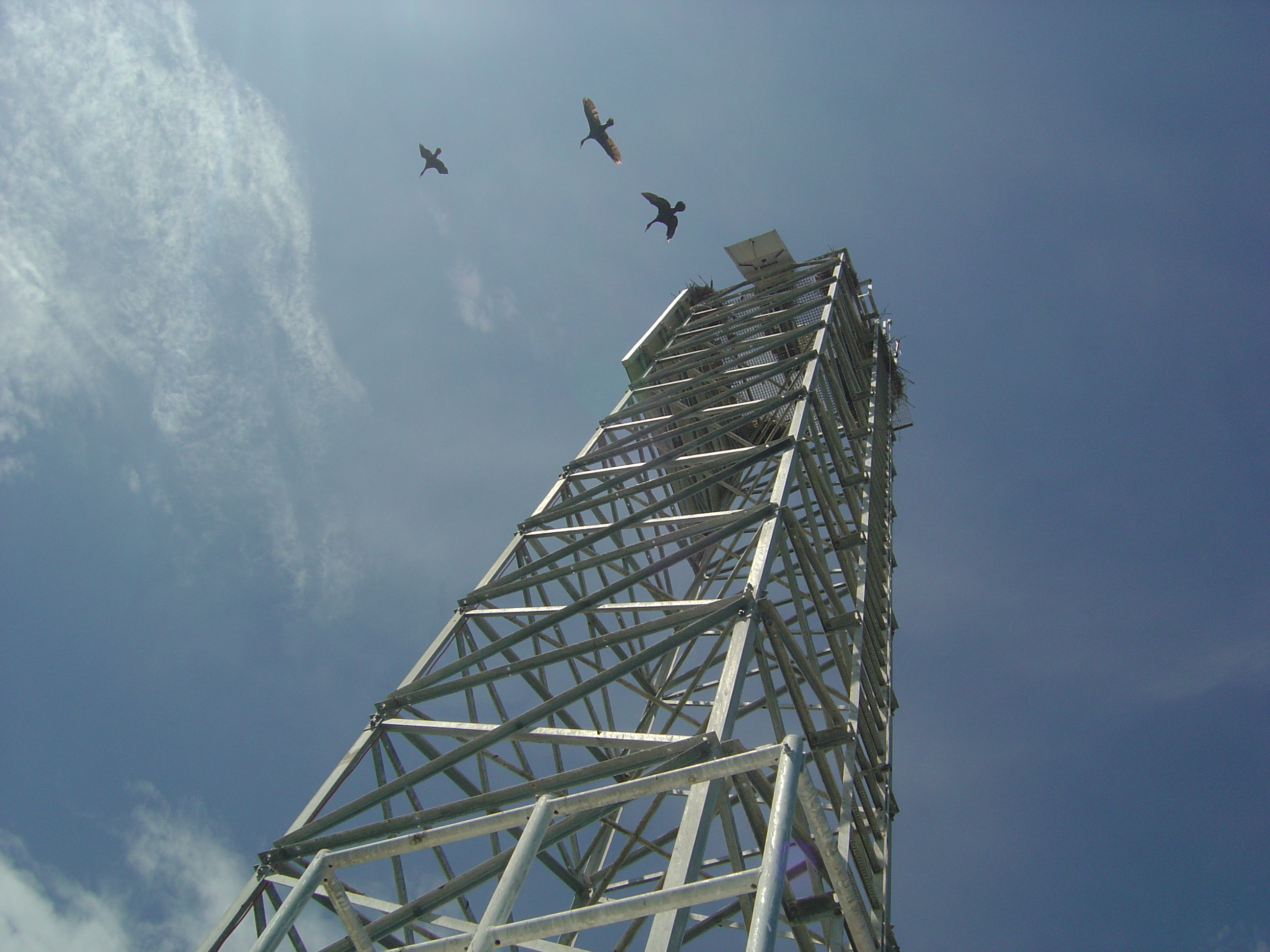
At some point during this trip, I got a little seasick, so I decided to climb up the tower to enjoy the stability. I started up the ladder and after banging my head on the railing, I found myself safe and secure on the landing and also surrounded by bird guano. Greta informed me that we were fortunate that is was so windy, otherwise the smell would be quite horrendous. We spent a good deal of time there getting everything hooked up, but we eventually got back.
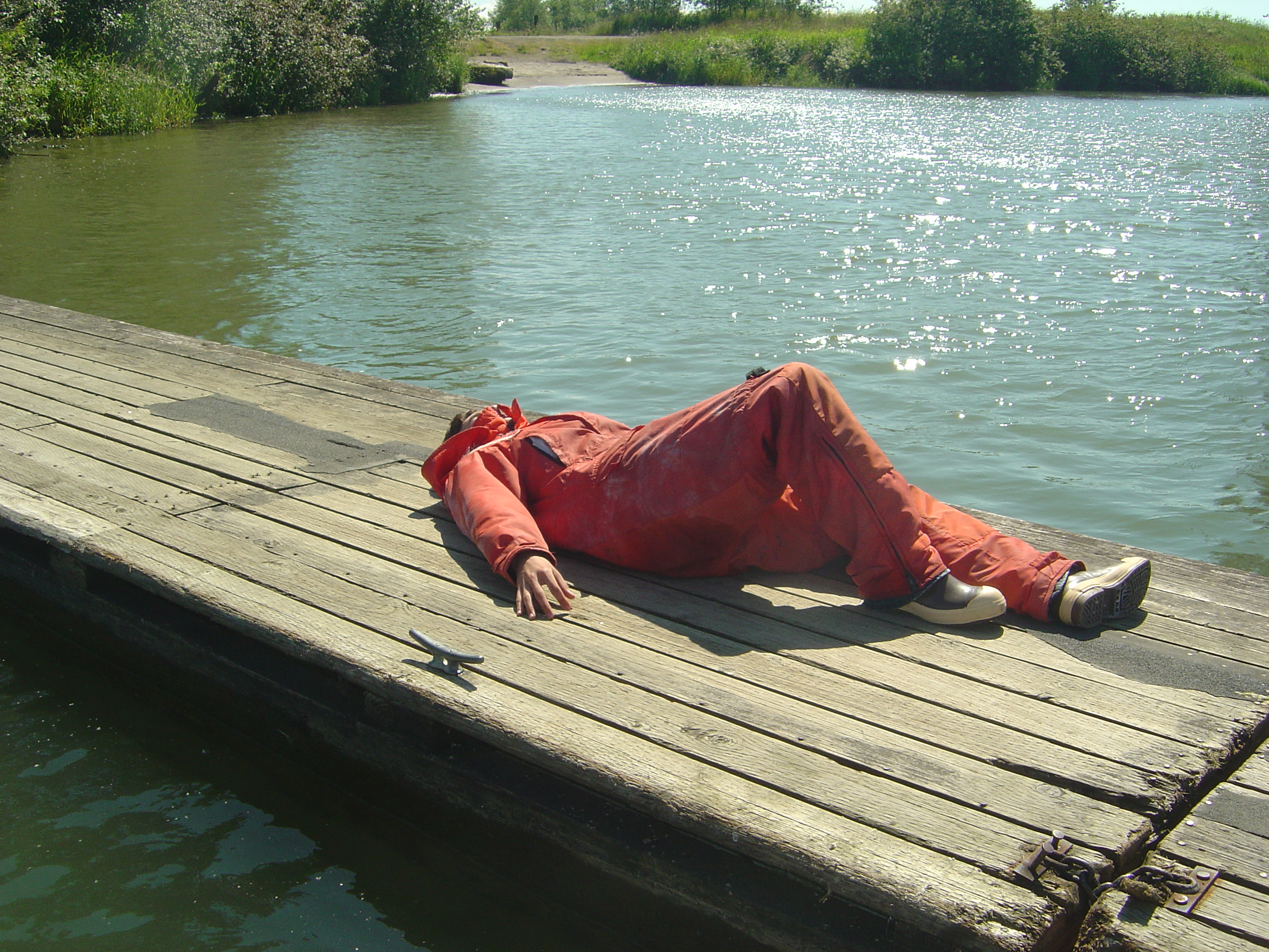
The second boat ride was to SATURN 02. Last time I went to SATURN 02, we climbed over the side of the bridge to clean it, but this time, our goal was not to clean but to retrieve.SATURN 02 stop transmitting, so Michael, Greta and I enjoyed a lovely boat ride on the beautiful Columbia, it was quite smooth and relaxing. I still got a little sick though.

