You are here
Data Exploration Guide
 The first step for any scientific enterprise is to go out and collect some data. For oceanographers, this can be extremely difficult. The ocean is large, and can be quite costly (and dangerous!) to explore. Luckily for us, CMOP has established a network of sensors in the Columbia River and along the coastal regions of Oregon and Washington that constantly collect and store data which we can use to do science!
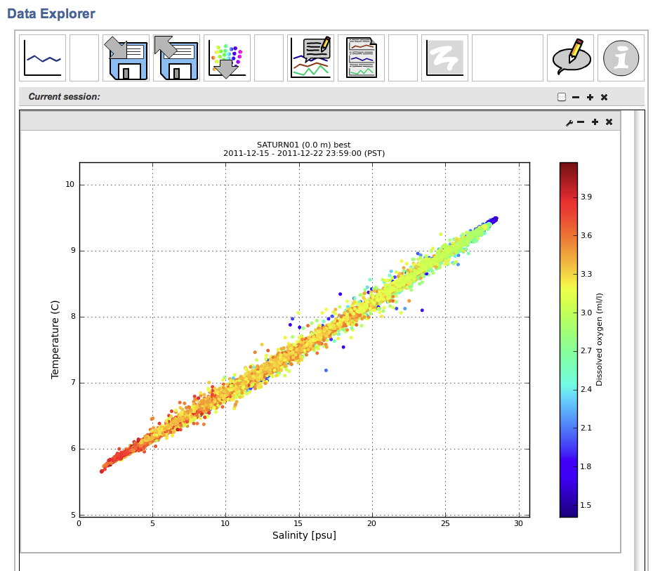
CMOP's observation system is called SATURN, and although it was built primarily for high-level scientists, the data are available to everyone and can be used to do your own original science. Because CMOP's systems were designed for researchers, they may appear a little intimidating at first. But with a little guidance, you will learn how to plot up variables, look for correlations, and test hypotheses about what drives environmental changes in the estuary and coastal margins of the Pacific Northwest.
Sound fun? Let's dive in! Click here to get started

