You are here
22 July 2008 R/V Wecoma cruise - Water Mass Tracking
Today we began a new field campaign for the CMOP program. At the beginning of the strong ebb tide we released an Argos surface drifter at the mouth of the estuary on the south side of the shipping channel. We immediately cast the CTD and collected a surface water sample. Then we followed the drifter as it moved off shore, casting the CTD each hour and collecting a surface water sample every three hours.
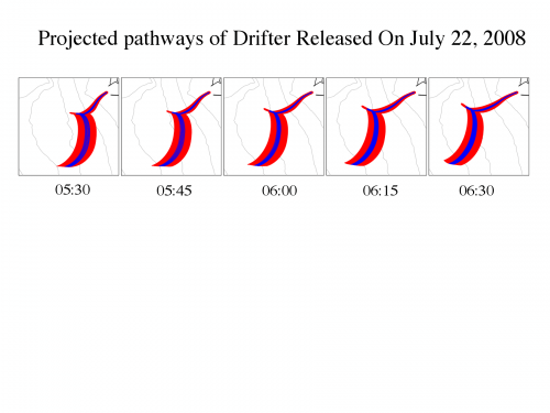
The CORIE modeling team worked up some forecasts of where the drifter would go given different release points and release times. These spaghetti diagrams give several different possible trajectories (see figure). The initial suggestion from the modeling team was to release the drifter some distance up the estuary, but the captain and crew warned us off doing that. In their experience drifters released in the estuary often get stuck in shallows on the sides of the estuary mouth. They also pointed out how difficult it would be to recover the drifter from these places. So we decided to release the drifter at the mouth parallel with the end of the Southern Jetty.
The drifter moved quickly off shore and slowed down about 11 nautical miles from the mouth. It then moved north east a little during flood tide, and then south during the ebb.  model forecast of drifter trajectory
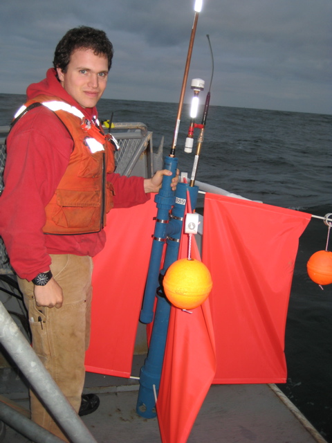
 Marine Technician Dave O'Gorman with drifter


